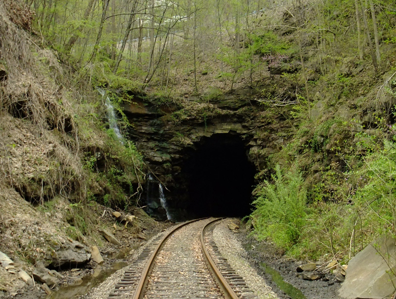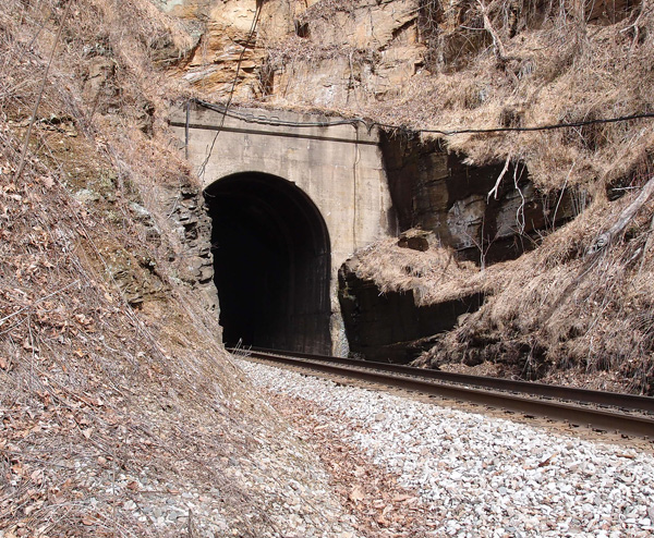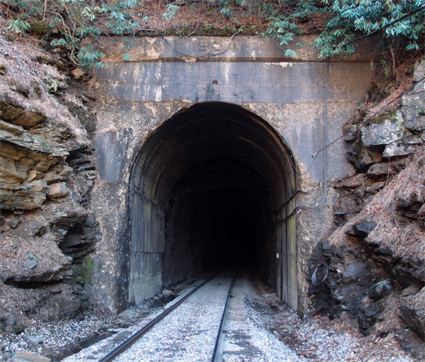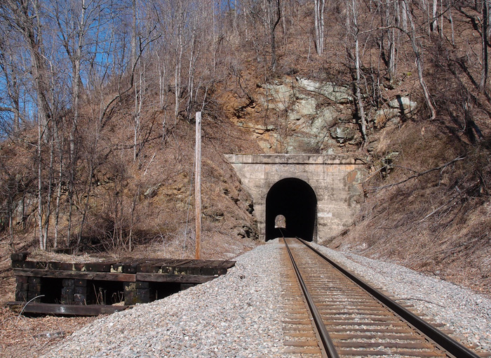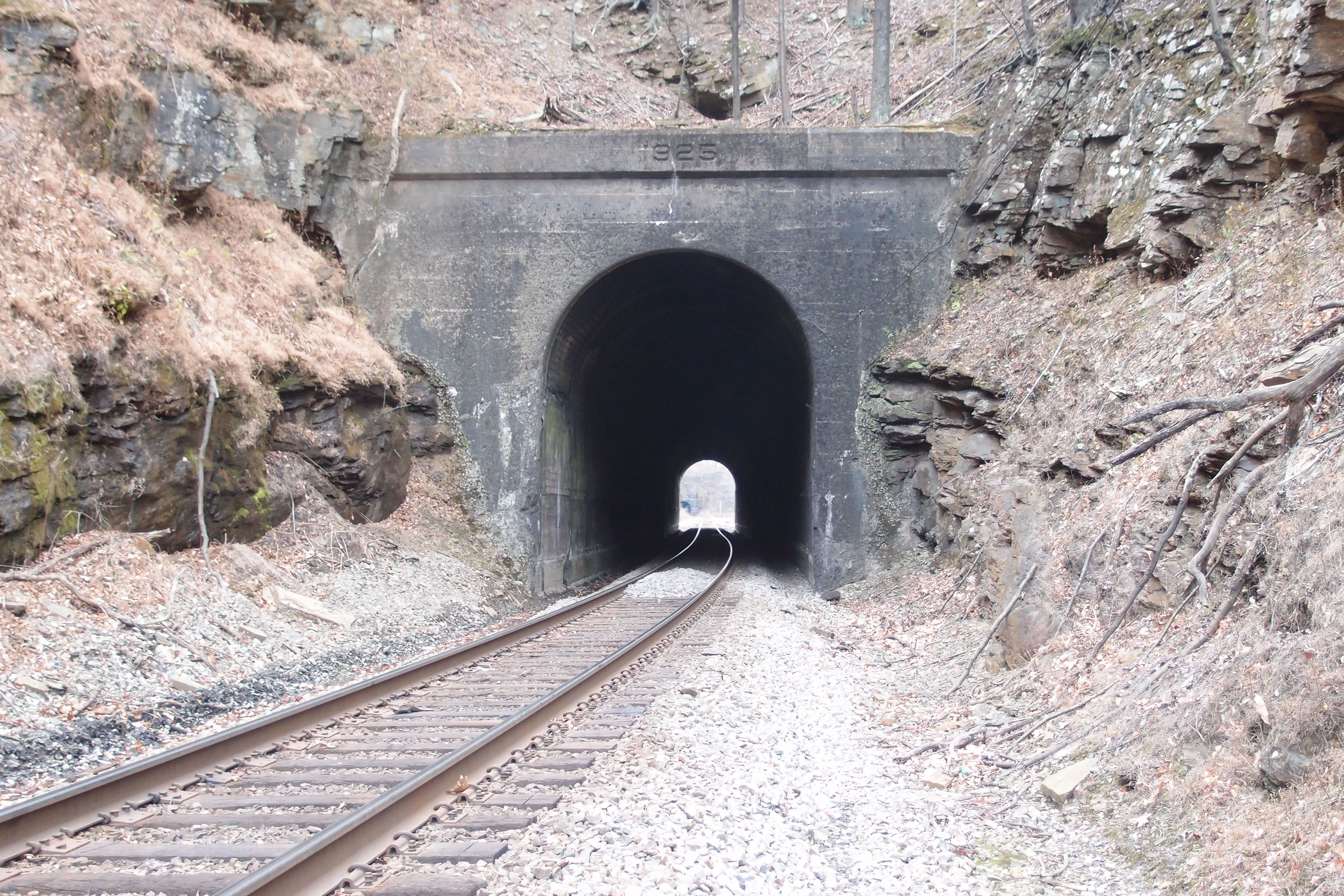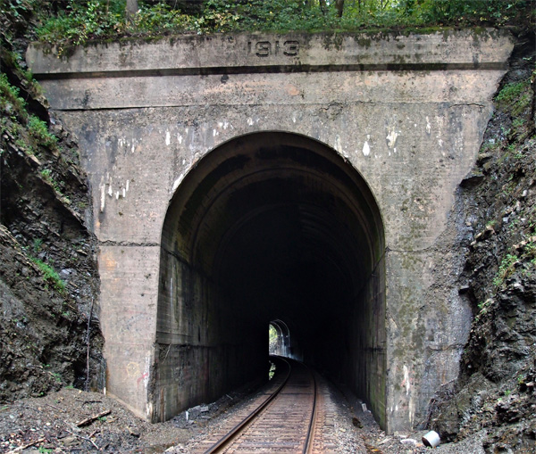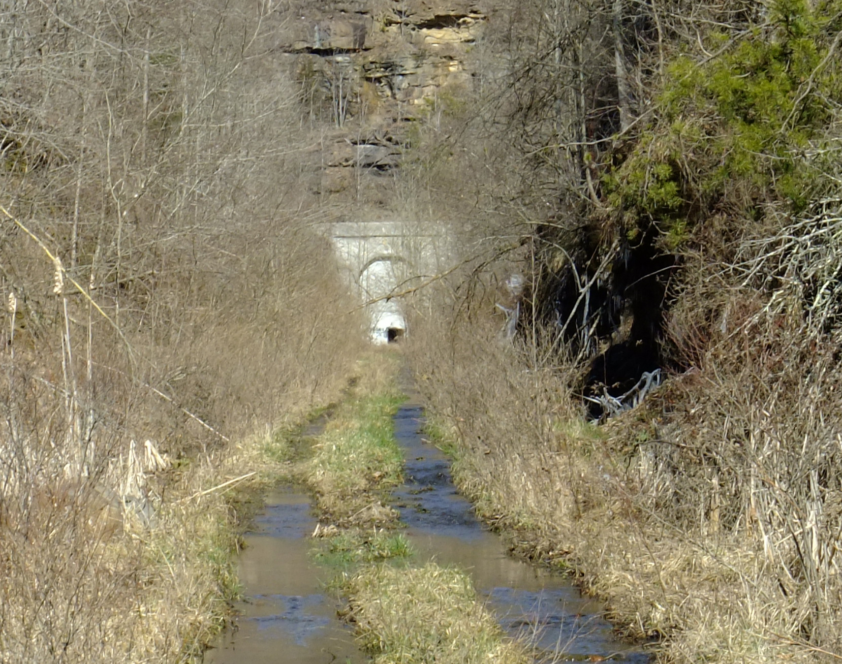
This is the other Clinchfield Sandy Ridge Tunnel, opened in 1958 and went out of service a few decades later. This is the south portal at 37.014059, -82.196190. The north portal is about 8,000′ away at 37.035718, -82.190781
This is the other Clinchfield Sandy Ridge Tunnel, opened in 1958 and went out of service a few decades later. This is the south portal at 37.014059, -82.196190. The north portal is about 8,000′ away at 37.035718, -82.190781
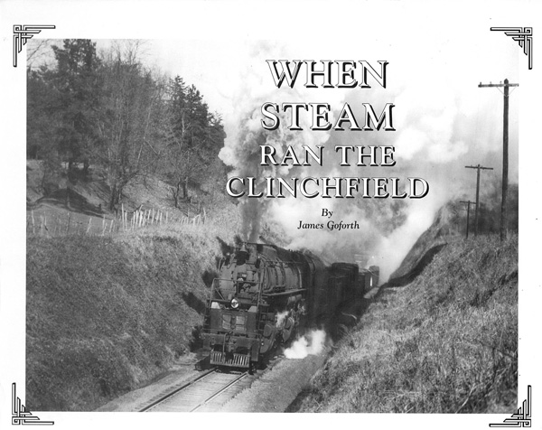
Interesting book published in 1993, second edition, by Gem Publishers in Erwin TN. It covers all of the steam locos of the Clinchfield, with pictures of many of them, plus seven and a half pages of photos of wrecks. There is also a section on Floyd Bruner, a noted photographer of the line. This particular book is signed by James Goforth.
There is also a 1998 edition of this same book, with a colorized and redesigned cover, published by Overmountain Press of Johnson City TN.
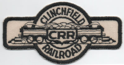
Actual size is 4″ x 2″. It’s not an iron-on. I found this at the 2019 Antique Bottle and Collectibles sale at the Appalachian Fairgrounds. I always find something at that sale.