Month: December 2014
Glenbrook
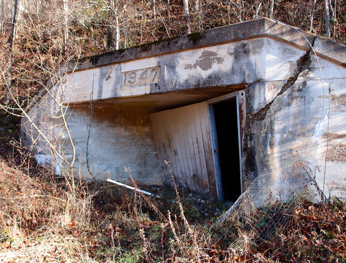
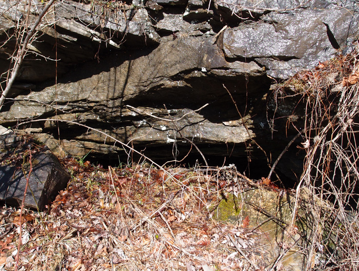
In 1947, the L&N ran the Clover Fork Branch up to what was called Glenbrook KY (read about it here). The reason was that Stonega Coal and Coke Company had decided to dip into the Wallins coal seam here. They constructed five dated adits as they dug into the coal. This one at 36.88345, -82.91997 is representative of the three on the eastern part of this complex (it’s not really open…there’s a huge, rusty fuel tank stuffed into the adit to deter visitors):

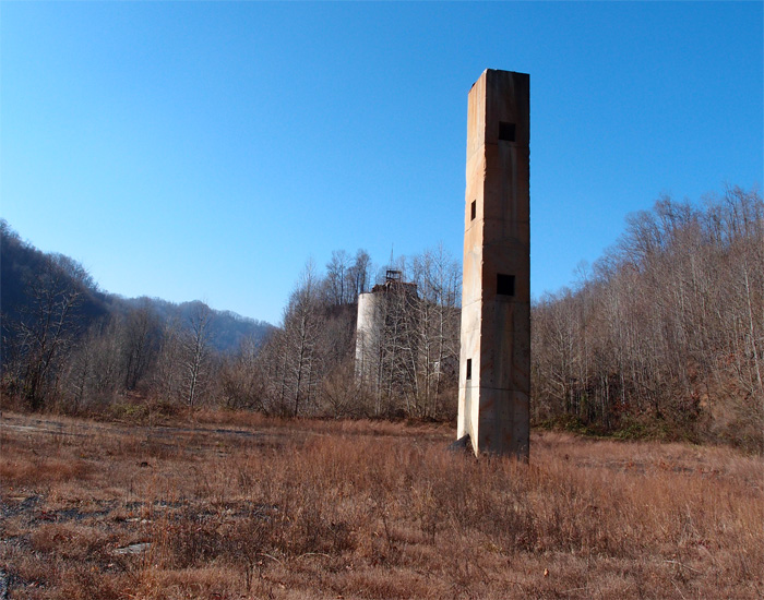
Right at these adits is a group of buildings…a service area for mining equipment, a power building, showers and lockers for the miners. There were also offices installed sometime later, since they put in dropped ceilings to cover the original high ones with the pulleys that helped miners get out of their work clothes before showering.
On the west side of this particular complex are two more adits, also dated 1947:

Here’s a long view of what was once a sorting/loading area:
And this possibly was once a very early exploratory mine, now bermed in. You can easily tell is was once a mine, though:
This whole old mining area is in foreclosure. It’s scheduled to be completely bulldozed early in 2015. We took plenty of pictures. We’ll remember it.
Dent (not Dante) Yard
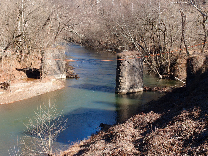
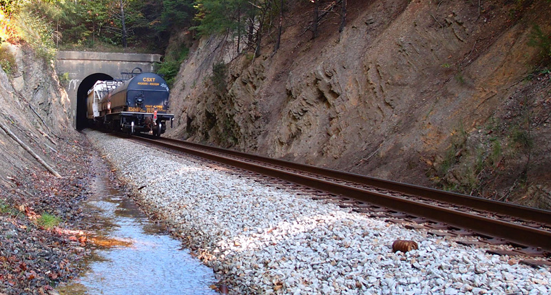
Back in 1945, Blue Diamond Coal Company, out of Knoxville TN, opened up the Leatherwood mine complex, about ten miles up Leatherwood Creek from the North Fork of the Kentucky River. At the same time, the L&N ran a spur from their main line on the north side of the river to the mines and, in order to handle the vast amount of coal coming out of Leatherwood, the railroad also built a breakdown yard a little further up the river toward Hazard, near a town called Dent (it’s gone now). At the intersection of the main line and the spur (at 37.12946, -83.08649, nearest Google Earth locator is Cornettsville KY), a complex was built to service the locomotives. It included a turntable (see it here), a pumping station to bring water up from the river to a tank used to service the steam locomotives, and various other buildings. The remains of the turntable are still visible:

To get a sense of scale, that’s my buddy standing over on the other side of the foundation (he’s dressed in white). The remnants of the pumping station and various other buildings are still there, also. This yard operation only lasted about a decade or so.
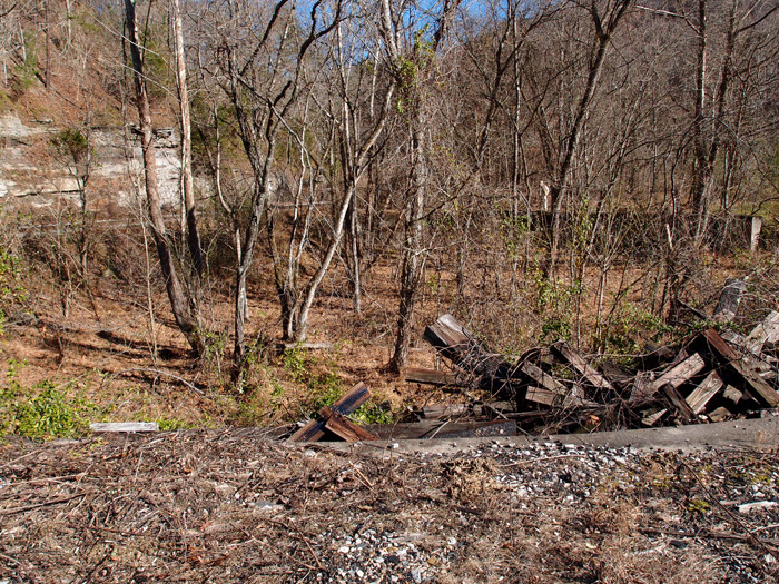
This is looking toward where Dent Yard once was:


But one thing had me puzzled. Just a short way down the river from the main trestle, I saw these: