You know about Natural Tunnel, right? If not, here’s the Wiki. And here’s a picture of same, complete with the N&S track that’s been there for over a hundred years:

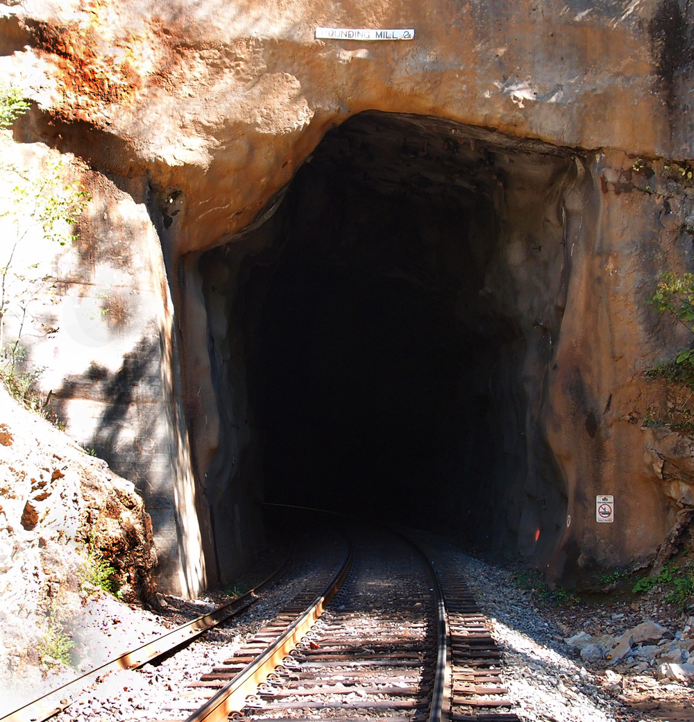
But, wait! There’s more! Because, in railroad design thinking, it’s usually better, more costly, but better to ram through than go around, there’s another tunnel just a little bit south of the main, naturally formed (of course) one. Here ’tis (this is the northern portal…(kinda looks like they just sawed through the rock, no?):