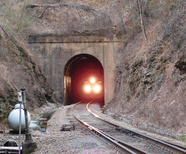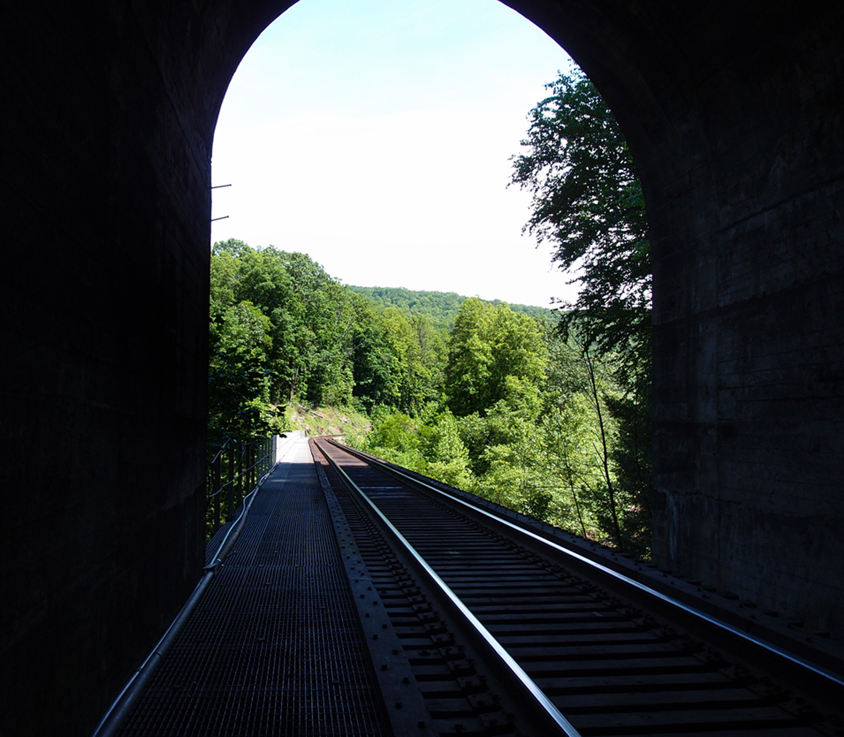
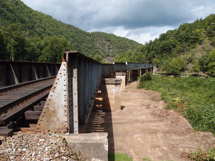
This is looking north out of the CSX Skaggs Hole Tunnel (37.256522, -82.327300). The trestle goes over the Russell Fork River. There’s a deep pool in the river off to the right about 30′ down.
This is looking north out of the CSX Skaggs Hole Tunnel (37.256522, -82.327300). The trestle goes over the Russell Fork River. There’s a deep pool in the river off to the right about 30′ down.


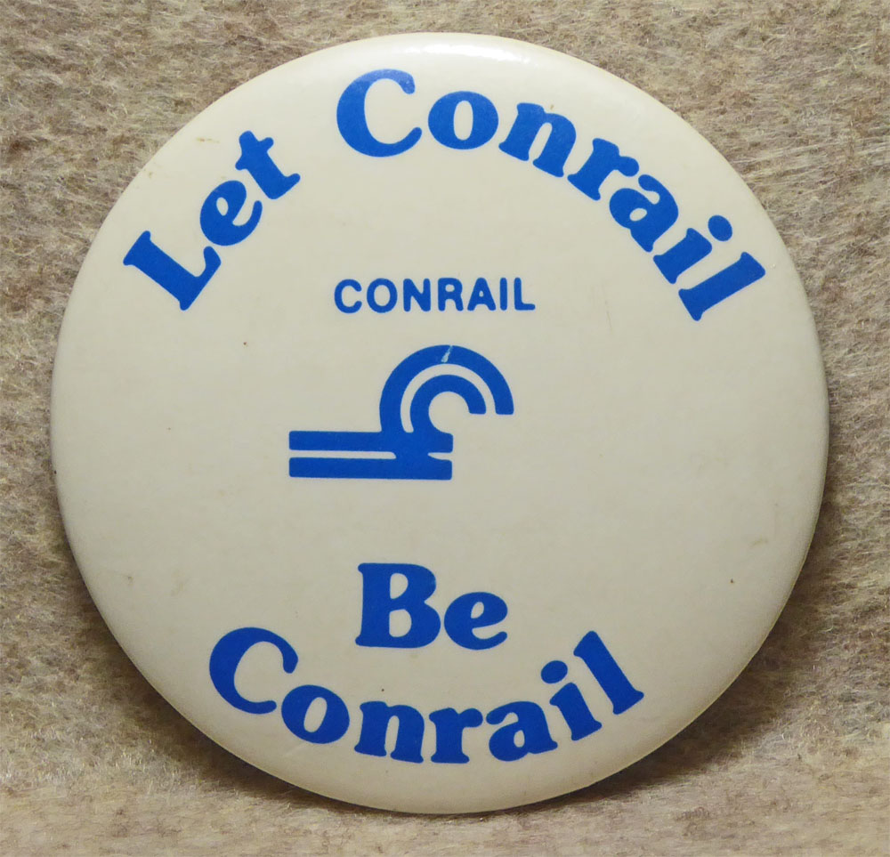
In 2014, CSX 900020 was in and around Seneca IL. In 2016, it showed up here in Kingsport. It’s been in Kingsport yard and out by Eastman since then, but it’s in pretty bad shape now. Operation Live Saver was up and running in the early 2000s for this CSX area (that’s where I got this pin). Operation Red Block was something entirely different.
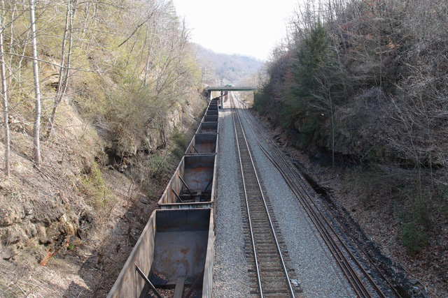
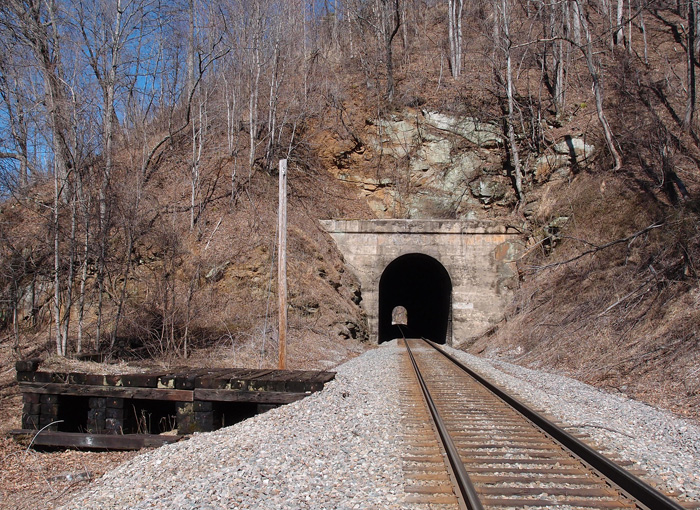
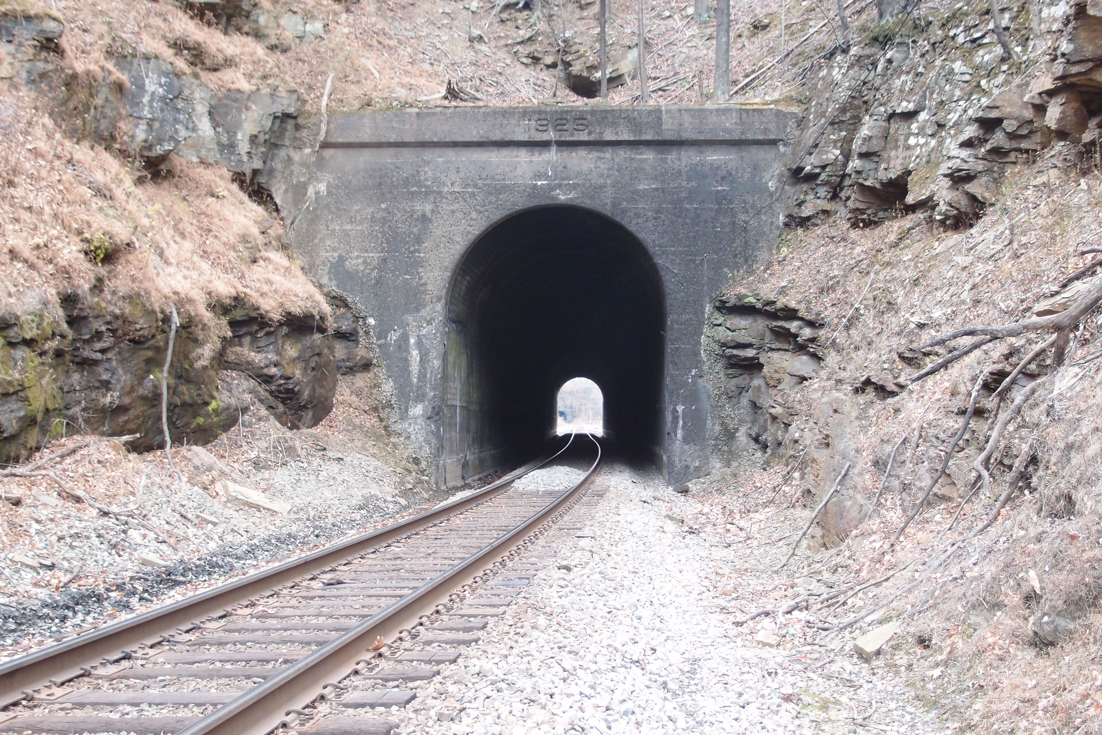
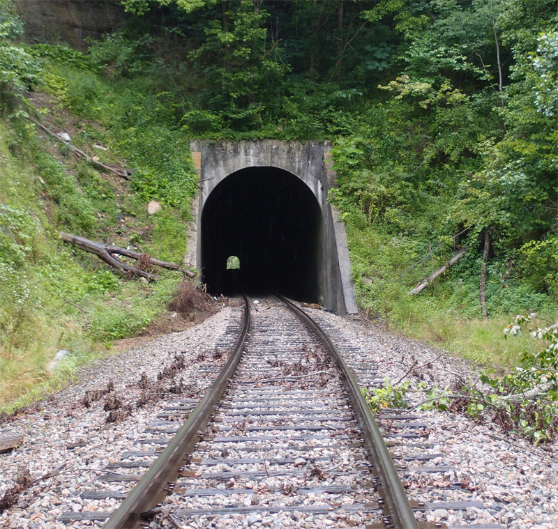
Taken from an overpass in Appalachia 36.9020, -82.7873. There was once a tunnel here. It was opened up (daylighted) to provide room for the extra tracks.
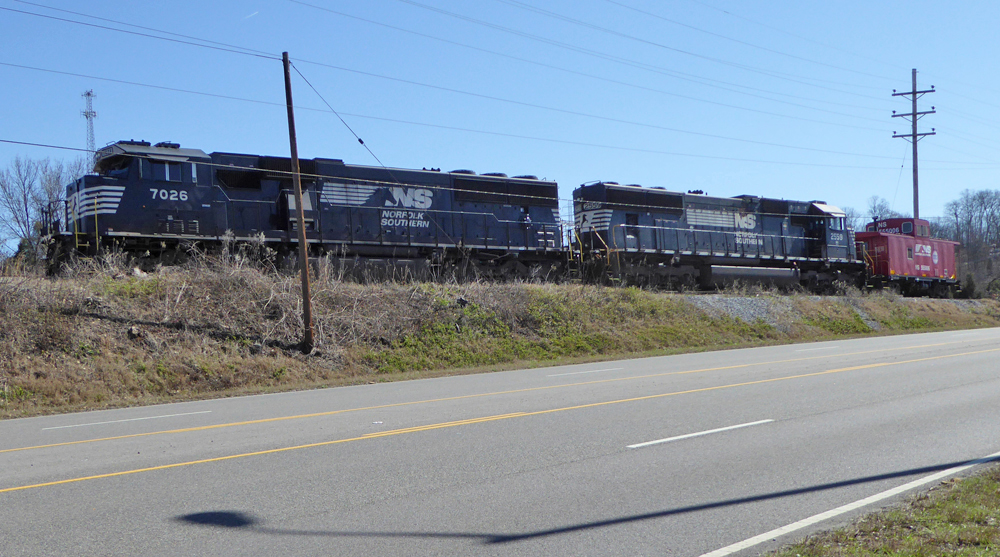
From 1986, this 2″ pinback recognizes a campaign to keep Conrail alive, after a takeover attempt by Norfolk-Western. In 1987, Conrail was released by the government to become a private enterprise. As of the late 1990’s, both CSX and Norfolk-Southern share ownership of Conrail.
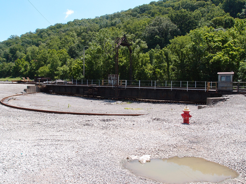
First of all, Loyall Yard is pretty big. To get a look at it in its entirety, check Google Earth at 36.85470, -83.34902. The yard was built by the L&N in 1920 and originally had numerous tipples, a turntable and many other structures. The town of Loyall was once known as Shonn, which is local slang for “railroad siding” (Wikipedia). The yard and town are protected from Cumberland River flooding by a flood wall and gate.
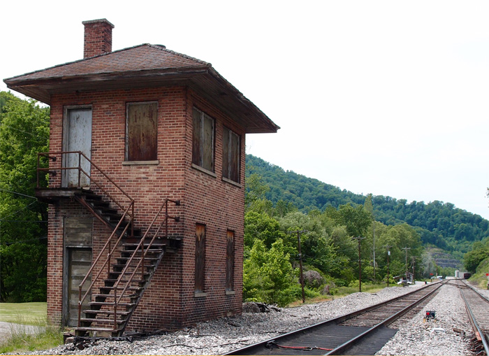
This structure, probably a control point of some sort is just east of Loyall Yard and is abandoned.
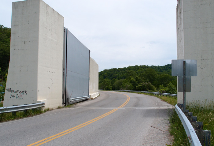
This is the flood gate on Highway 314 (the “Jerry Chestnut Highway”) coming into Loyall (this is looking east, away from Loyall).
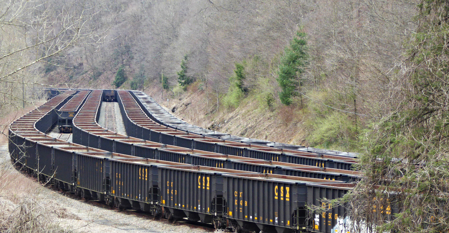
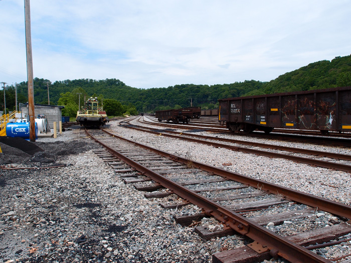
This is a bit of Loyall Yard. The turntable used to be over on the right, past the row of hoppers.
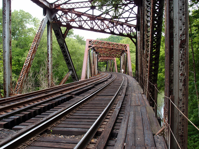
This solidly built double-track 1925 Fort Pitt Bridge Works (Pittsburgh PA) structure spans the Cumberland River just west of CSX’s Loyall Yard. The bridge, in three sections, all box trusses (for a total of around 410′ in length), is at 36.85093, -83.36837. It’s on an active line that winds on into Pineville. This view is looking more or less west. To give you a sense of scale, that’s my buddy standing in the second section on the right hand side of the tracks.