First of all, Loyall Yard is pretty big. To get a look at it in its entirety, check Google Earth at 36.85470, -83.34902. The yard was built by the L&N in 1920 and originally had numerous tipples, a turntable and many other structures. The town of Loyall was once known as Shonn, which is local slang for “railroad siding” (Wikipedia). The yard and town are protected from Cumberland River flooding by a flood wall and gate.
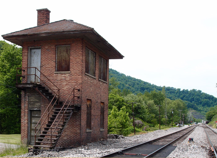
This structure, probably a control point of some sort is just east of Loyall Yard and is abandoned.
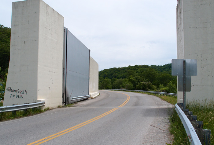
This is the flood gate on Highway 314 (the “Jerry Chestnut Highway”) coming into Loyall (this is looking east, away from Loyall).
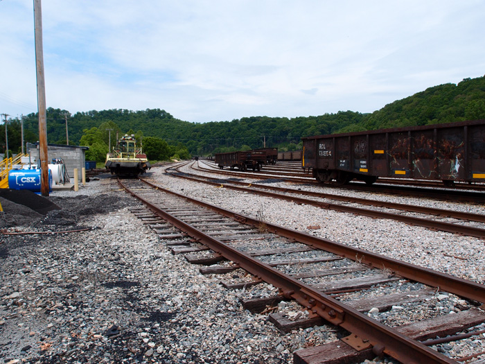
This is a bit of Loyall Yard. The turntable used to be over on the right, past the row of hoppers.