Following the track of the old ET & WNC Rail Road through Doe River Gorge is a fine hike, except in winter. If there’s been some snow or freezing rain, getting across the derelict bridges can be dangerous.
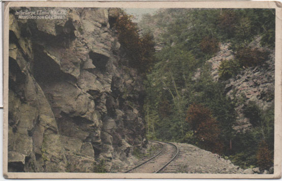
This card was published by the American News Company of New York, but it was printed in Germany before the start of WWI.
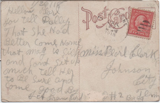
I can’t read the place name on the postmark, and I’ve tried. All I can see if the final “…ONE”.
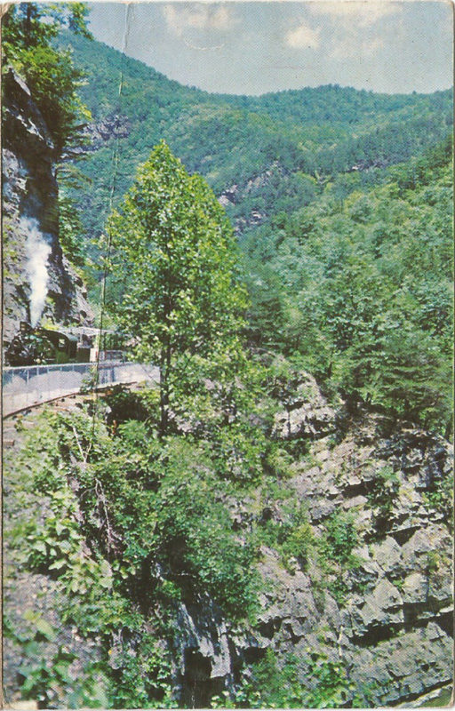
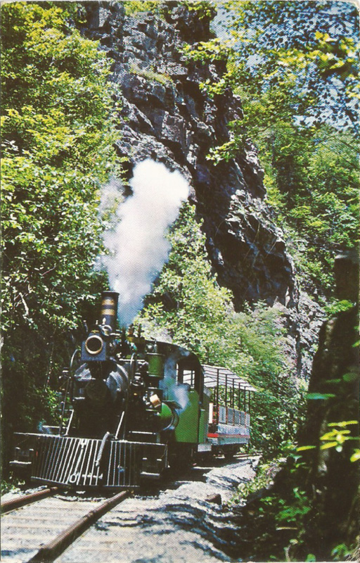
Both of these chrome postcards are from the late ’60s, when Doe River Gorge Playland was in business (check this link). As you’ll read on that webpage, for about a year, it was Hillbilly World and it closed in 1971. I’ve hiked the gorge twice, once from the Ministry side and once from the highway side. I think the one on the left shows the Engine #1 at Pardee Point, the one on the right is just a general shot of the engine steaming along.
The technical details: On the left: the card is badly creased end to end. Shame, that.
On the back: “Doe River Gorge, Highway 19-E, Hampton, Tennessee
A panoramic view of the Doe River as it winds through the Doe River Gorge. This is just one of the many scenic views of natural beauty seen from “Little Whistler” as Engine Number 101 puffs through the 3 1/2 mile trip in the Gorge.”
Published by KING PRINTING 509-511 Shelby Street, Bristol, Tennessee 37620
(there’s a small logo on the back: KING ADVERTISING DESIGN – PHOTOGRAPHY – COLOR SEPARATION – LITHOGRAPHY BRISTOL, TENN U.S.A.)
It’s been scribbled on, apparently by a child. Postally unused.
On the right: Card is in pretty good shape.
On the back: “Doe River Gorge Highway 19-E, Hampton, Tennessee
The “Little Whistler” puffs up the 2% grade road bed of scenic Doe river Gorge. Steam engines have been pulling this grade for nearly one hundred years. A trip through Doe River gorge offers one of the most scenic natural beauty views in the southeastern United States.”
All rest is same as above.
If you come in to Doe River Gorge from Railroad Grade Road, you can easily walk right past this former east portal of tunnel #5. It’s completely covered over and only the remains of the cut can be seen…look:
The west portal is partially open, but filled with rather murky looking water. Wonder what lives in there? Anyway, that’s my hiking buddy providing scale for this opening:
From this tunnel on, the line went on up to the fabled magnetic iron mines at Cranberry NC and, for a while, on to Boone. That’s another story, told in several locations.
If you come into the Gorge from the Railroad Grade Road side, this one’s easy to miss. The west portal of tunnel #5 is completely filled in and only the remains of the cut can be seen…look
The 4th tunnel heading toward North Carolina in Doe River Gorge is just past a dilapidated deck truss bridge over the Doe River. It’s crossable. Careful, though. The tunnel is centered at36.250708, -82.156534 and it’s filled with water. (read the comment on this)
There are two bridges over the Doe in the Gorge. One still has a truss superstructure, but precious little else and the other is as described above.
As you progress up from the Baptist Ministry, you’ve passed tunnel #2 and you’ve seen Pardee Point
That’s Pardee Point…carved out in the 1880s (looking back toward the Ministry). Ario Pardee was one of the owners of the ET&WNC from 1879 to 1882. Thought you’d like to know.
Here’s tunnel #3
Lots of ice…and it was slippery! But the view was, well, spectacular!
This is the second tunnel on the line heading away from Johnson City up through Doe River Gorge. It’s centered at 36.265916, -82.171331.
My hiking buddy, clad in plastic against the cold, January rain, is standing in the western portal. This part of the line is intermittently active during the summer for excursions from the Ministry.