Right at Unaka Springs in Unicoi County, 140 miles south of Elkhorn City. Just behind me is the bridge over the Nolichucky River (36.09812, -82.44180).
Right at Unaka Springs in Unicoi County, 140 miles south of Elkhorn City. Just behind me is the bridge over the Nolichucky River (36.09812, -82.44180).
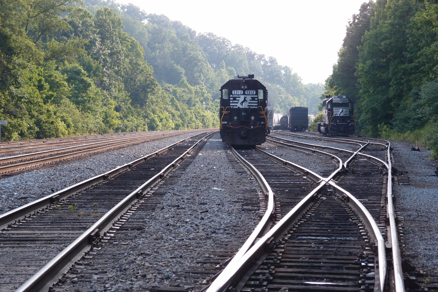
Right on the border of Tennessee and Virginia at 36.353509, -82/375406. This is an N&S yard.
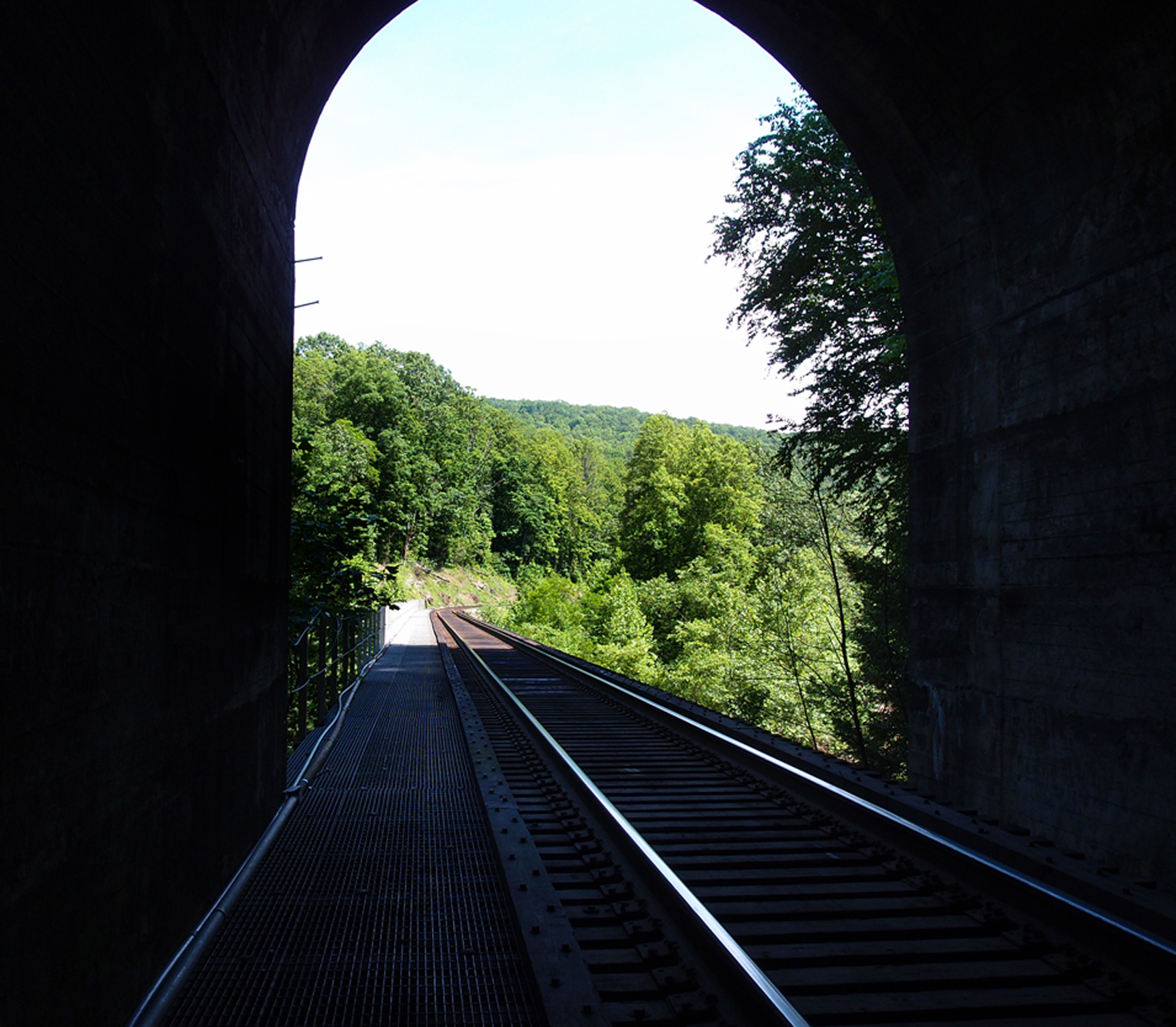
This is looking north out of the CSX Skaggs Hole Tunnel (37.256522, -82.327300). The trestle goes over the Russell Fork River. There’s a deep pool in the river off to the right about 30′ down.
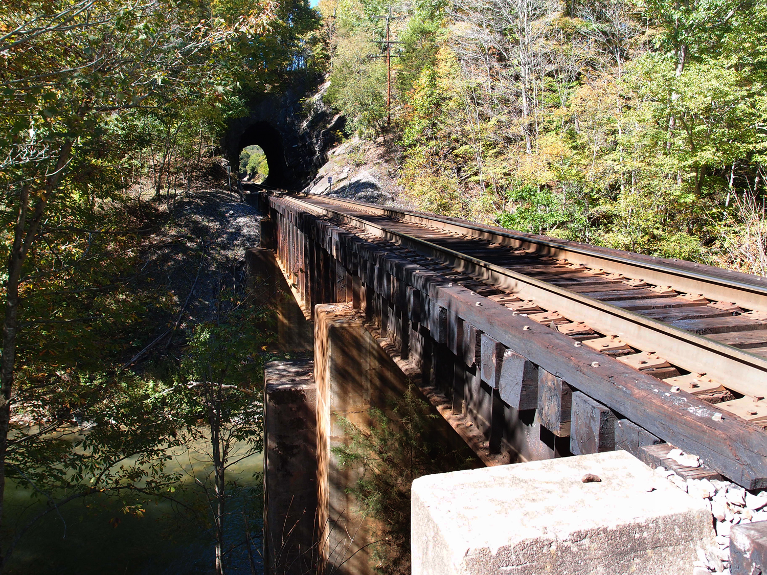
This is the trestle leading into the Pounding Mill Tunnel #1 in Tazewell VA (at 37.07660, -81.71674). Norfolk and Western (after 1980 Norfolk and Southern) ran this line through to the coal fields between 1887 and 1890. One abutment dates to 1930 and the other to 1941, so a bit of work has been done on this trestle. I originally posted Pounding Mill Tunnel #1 on October 1, 2012, which was a view from the opposite side, complete with signage.
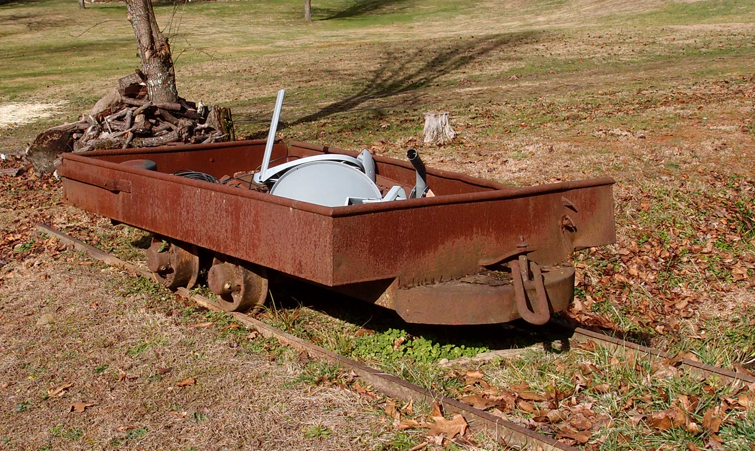
We saw this old mine tram from an abandoned family mine near Dwina VA.
This is the other Clinchfield Sandy Ridge Tunnel, opened in 1958 and went out of service a few decades later. This is the south portal at 37.014059, -82.196190. The north portal is about 8,000′ away at 37.035718, -82.190781
Looking north through these two short (this one is 308′, the yonder one is 236′) tunnels crossing a bend in the Clinch River (36.709679N, 82.646909W) in Scott County VA. As I’ve mentioned before, the date there is when this tunnel was faced up. The line blasted through in the early 1900s. About a mile up the track, at Starnes Bend, is Starnes Tunnel. If you backtrack for about seven miles, you’ll hit the Clinchport Tunnel in the Town of Clinchport.
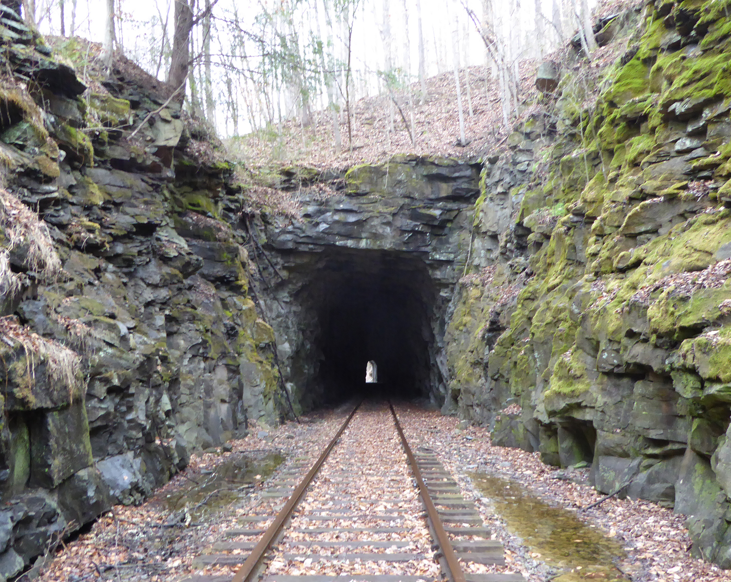
This is an old tunnel (36.715900 N , 83.671831 W) on an unused line between Pineville and Middlesboro KY. This is the unfaced south portal. The tunnel is a little over 600′ in length. The north portal was faced up in 1944, but this shows how the road gang blew through the stone. I think this tunnel was opened in the early 1900s by the L&N.

I’ve posted this before, but I’ve got a bit more information. This is looking out of the north portal of the Devon Tunnel (37.52763N, 82.04658W). It’s in Virginia, but that’s West Virginia your seeing, across the Tug Fork River. This is an old line. It began as a narrow gauge road for Shay engines.
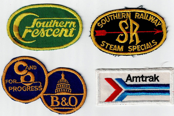
Each of these is a little over 3″ wide. I found them at the flea market in Weber City VA.
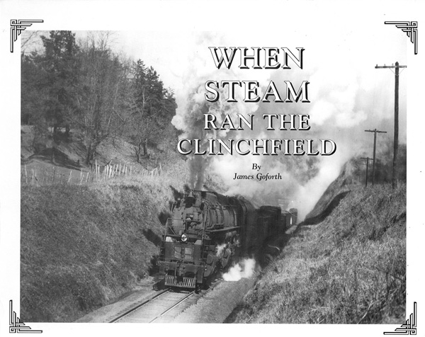
Interesting book published in 1993, second edition, by Gem Publishers in Erwin TN. It covers all of the steam locos of the Clinchfield, with pictures of many of them, plus seven and a half pages of photos of wrecks. There is also a section on Floyd Bruner, a noted photographer of the line. This particular book is signed by James Goforth.
There is also a 1998 edition of this same book, with a colorized and redesigned cover, published by Overmountain Press of Johnson City TN.
Neat little 5.75″ x 2″ presentation piece made by Varney Scale Models, Miami Florida. This dates to pre-1970.


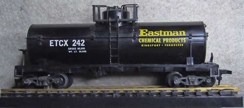
In 2014, CSX 900020 was in and around Seneca IL. In 2016, it showed up here in Kingsport. It’s been in Kingsport yard and out by Eastman since then, but it’s in pretty bad shape now. Operation Live Saver was up and running in the early 2000s for this CSX area (that’s where I got this pin). Operation Red Block was something entirely different.
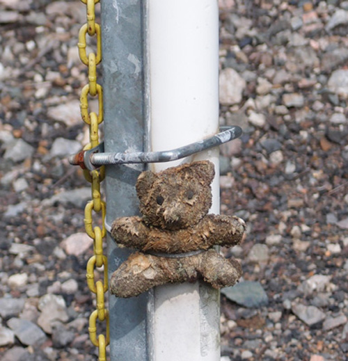
There is a bear in Miller Yard.
A small teddy bear
Strapped tightly to a brake stick pole.
Little bear is grimy and balding in spots.
But it keeps watch.
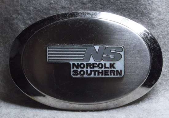
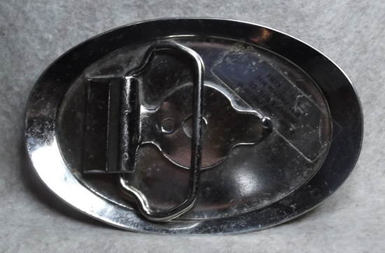
Norfolk Southern belt buckle unearthed at a local antique store by my buddy. It’s 3.75″ long and 2.5″ wide. Made by Hoover’s Mfg. Co. of Peru IL. The buckle has been treated fairly badly; scratched up.
This is the yard looking NNE from the Mary Street bridge (36.6001, -82.1760) in Bristol VA. That’s an active locomotive on the left.
This is looking SSW.
I’ve gone by this many times. I always thought “I’ll get a picture of that next time I go by.”
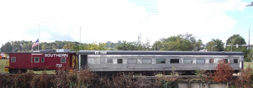
So, I did. A passenger car (the Bristol) and a Southern caboose on the Wes Davis Greenway in Bristol TN.
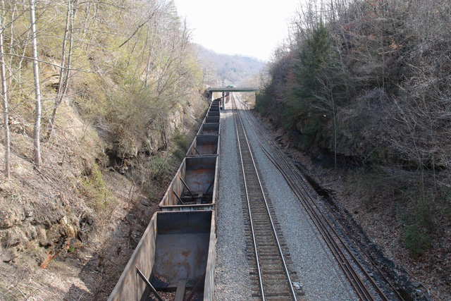
Taken from an overpass in Appalachia 36.9020, -82.7873. There was once a tunnel here. It was opened up (daylighted) to provide room for the extra tracks.
Nestled in the southwest corner of West Virginia is Bluefield, gateway to the Pocahontas coalfield. This yard was a huge part of Norfolk & Western’s activities in this area. It was, as of 2010, when this was taken, one of the busiest yards in the system. Coordinates are 37.2723, -81.2163. Bluefield’s commercial area is located just a step or two from this yard.

This is Norfolk Southern’s Yuma yard looking east (top photo) with the Smith signal unit to the left. Bottom photo is looking west. This yard, 3 miles west of Frisco yard, is mostly used for storage now. It is .86 mile long with seven tracks. Thanks to the CSX Transportation Historical Society website for information on this yard.
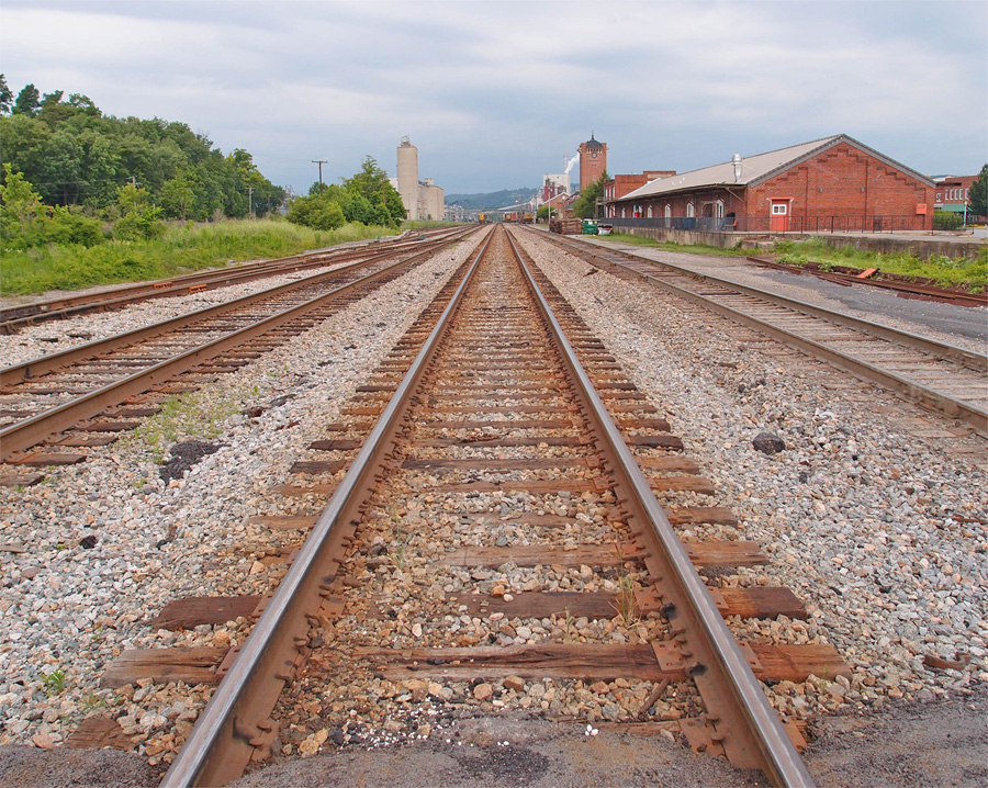
This was taken in June, 2011, showing the freight building and loading dock still fairly intact (for modern times). I believe the Kingsport Convention and Visitors Bureau was in the freight building at the time. To the left, ‘way down the tracks, are the silos that once held ingredients for Penn-Dixie’s cement.
The picture was taken looking west from Cherokee Street.
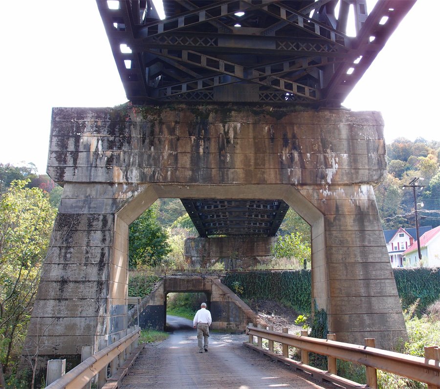
This gives an idea of how massively these railroad companies built when they needed to. I took this under a double track trestle over the Bluestone River- and an out-of-service single rail line- in West Virginia at 37.32335, -81.32700. Just behind me is Pocahontas Avenue north of Pocahontas VA. The trestle above is about 665’ in length.
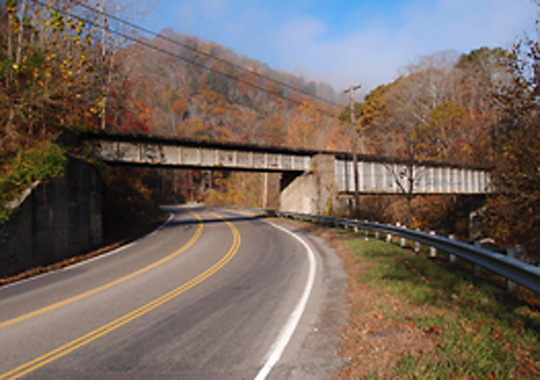
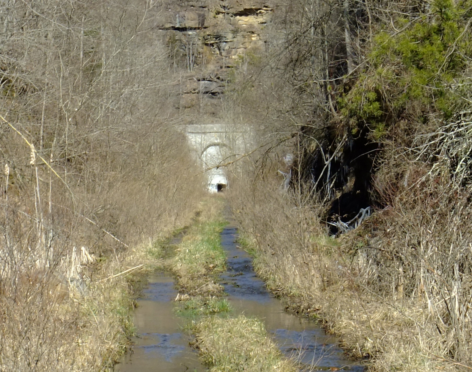
I’ve posted this before. It’s an out-of-service trestle between Appalachia VA and Big Stone Gap and is part of a pleasant walking trail. You can access the trail in Appalachia, just off the highway and walk along the old L&N tracks past Bee Rock Tunnel and on along the trail. Bee Rock Tunnel is the third shortest tunnel in the United States. Second is the tunnel I mentioned in Gallatin TN. Shortest is Backbone Ridge at 20′, plus or minus, in Shady Valley TN. After Bee Rock Tunnel is Callahan’s Nose Tunnel, then this trestle and on to Big Stone Gap. This should be a fine walk in fall.
This is on Hwy 606 just below Lower Exeter VA…N&S stallion locomotives coming slowly up the grade
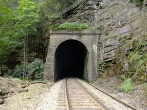
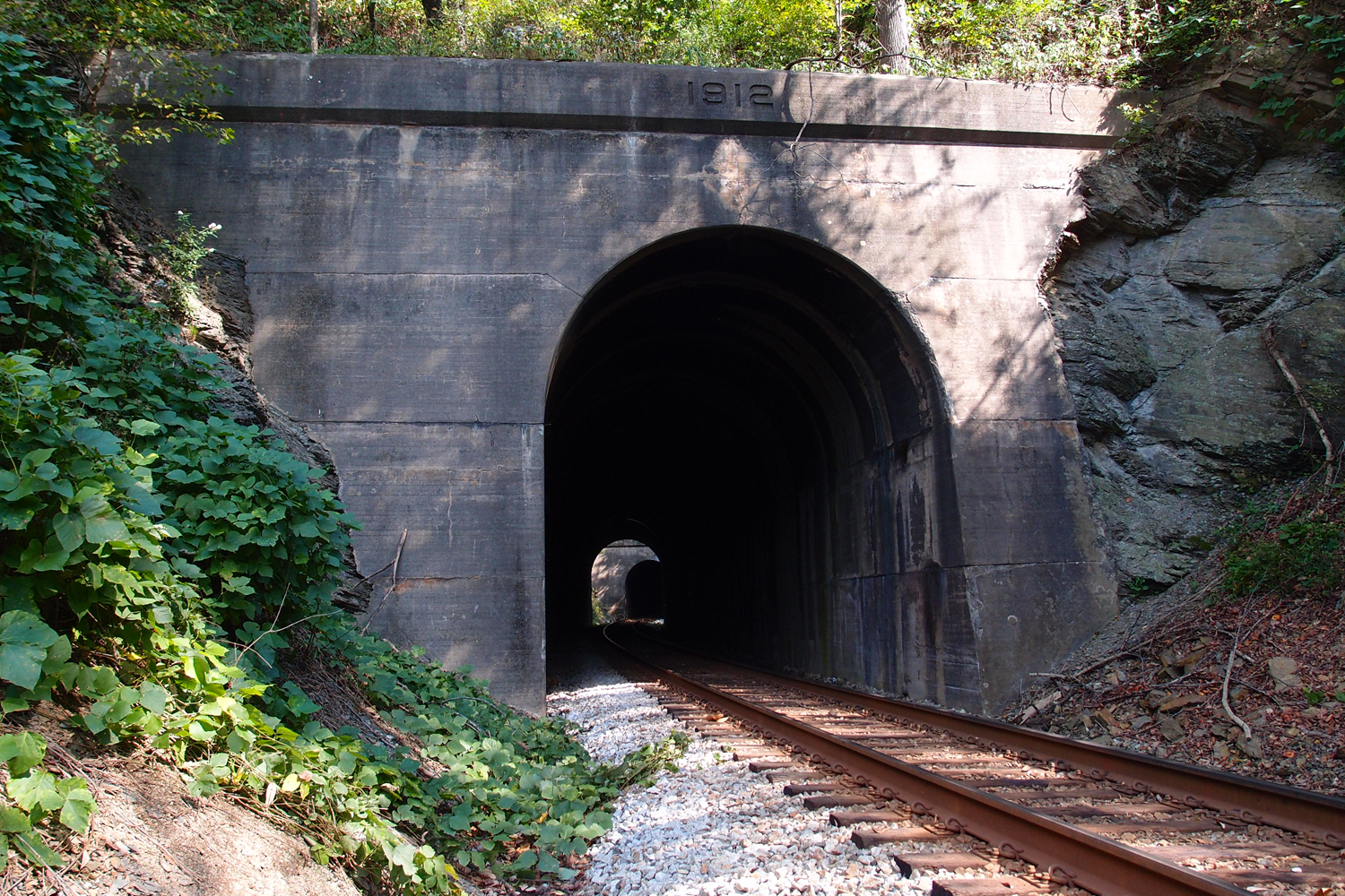
Towers Tunnel is at 37.257, -82.327. The date on the facing is 1926, but that only notes when the tunnel was reinforced and faced with concrete. The actual tunnel is older than that by maybe 10 years or so. This tunnel is 921’in length and cuts through a ridge between two geological features in the park “The Chimney” and “The Towers”. You can’t see the end because it curves to the right.
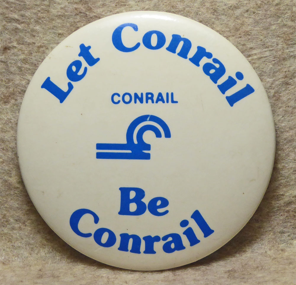
From 1986, this 2″ pinback recognizes a campaign to keep Conrail alive, after a takeover attempt by Norfolk-Western. In 1987, Conrail was released by the government to become a private enterprise. As of the late 1990’s, both CSX and Norfolk-Southern share ownership of Conrail.
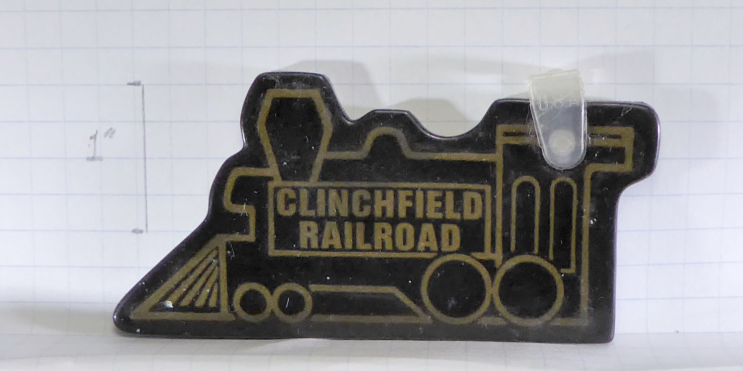
I don’t really know how to date this little key fob. It’s made of that plastic material that feels like a gummy bear would. Disclaimer: I enhanced the gold lines a bit. They’ve faded badly.
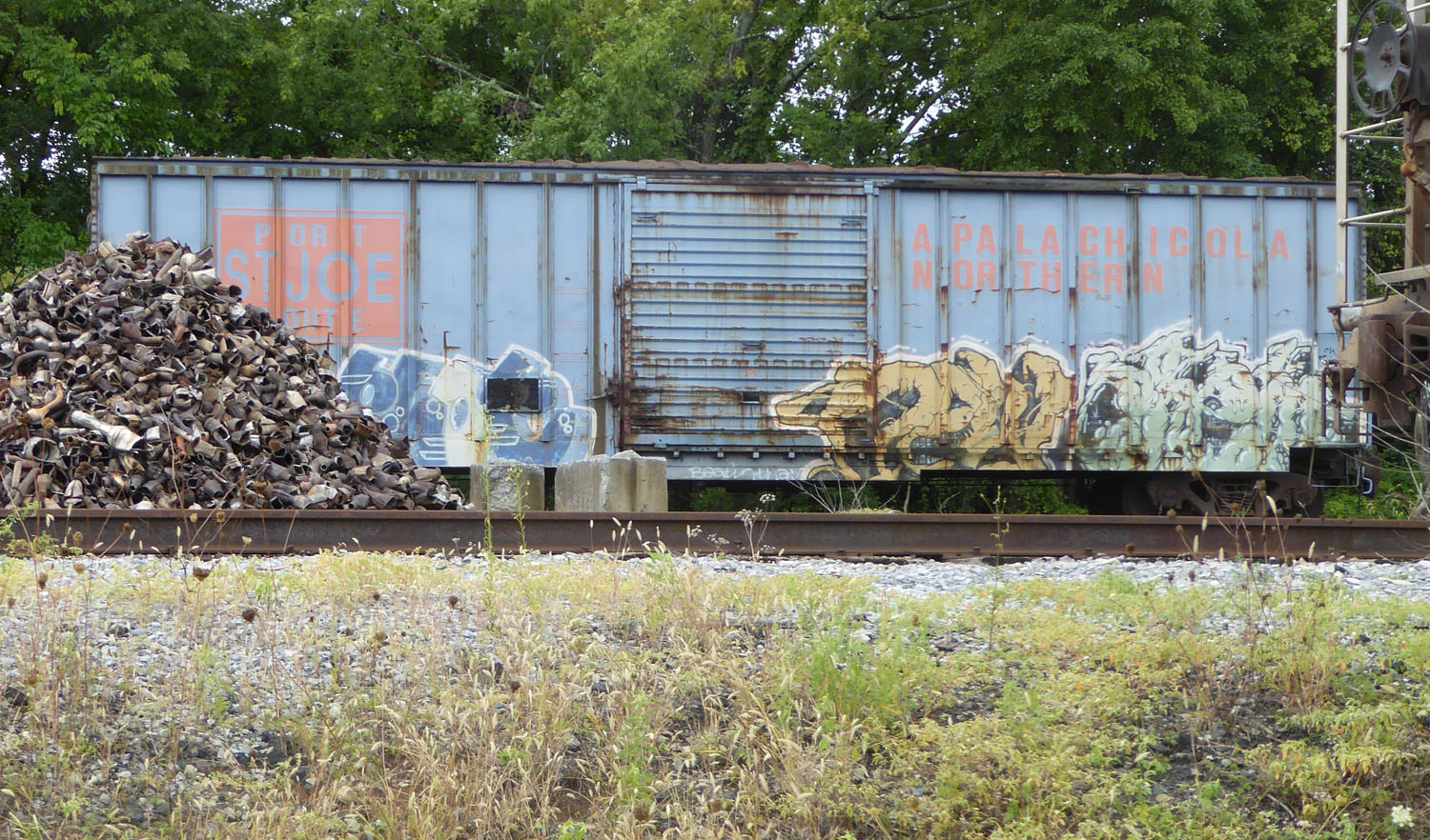
As of 8/24/19, this was parked on a siding near Memorial Park in Johnson City TN. Apalachicola Northern