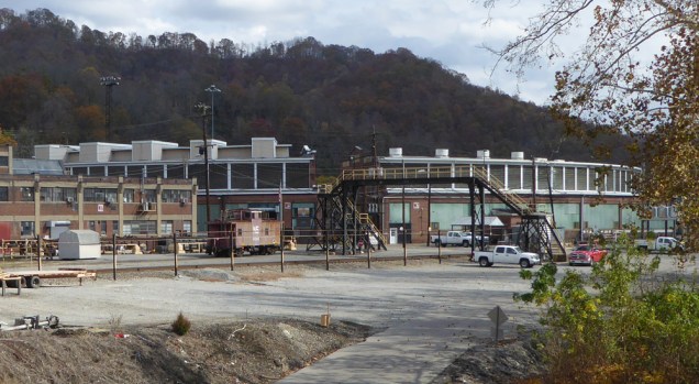
While Norfolk Western laid down a line through Williamson in 1892 or so, they didn’t build the big consolidation and repair yard until 1901. It has a roundhouse, but I wasn’t able to get a decent picture of it. It shows up quite well on Google Earth, though.
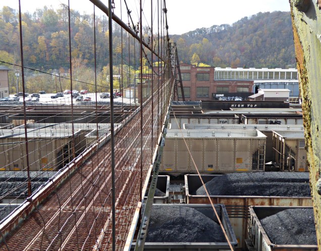
You can also see from the satellite image the fairly wide suspension pedestrian walkway that spans the yard. It is gated, but I was able to climb the rickety stairs that access the northern bridge support tower. This is looking southeast:
This is looking across the yard showing the pedestrian bridge (there’s a date on the building in the center, 1926):
And this is looking northwest or so:
This is the best view I could get of the roundhouse, taken from a 1913 truss bridge over the Tug Fork on the southern side of the yard: